
Salt Pans, Sand Hills, Blue Skies.
by John
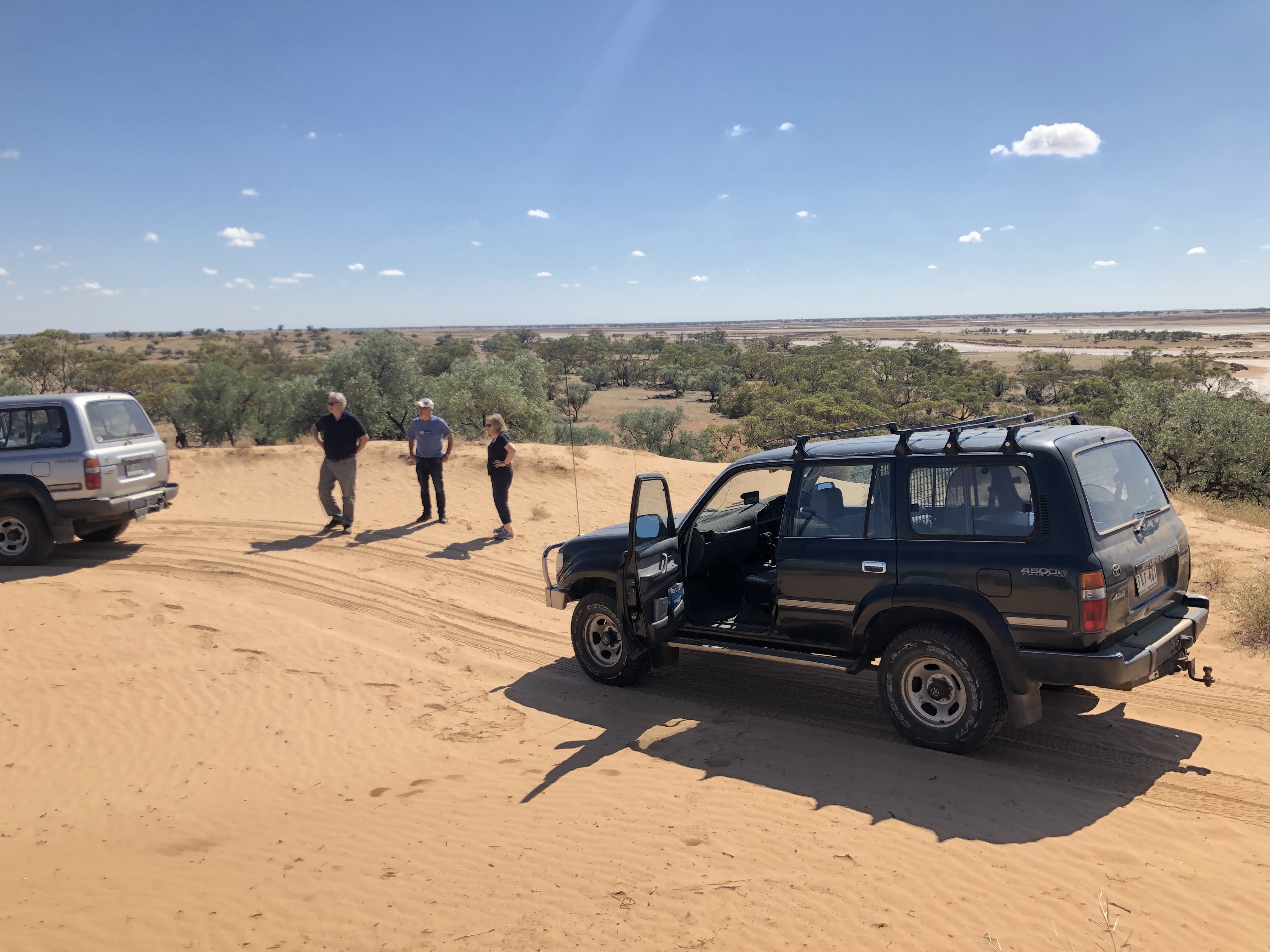
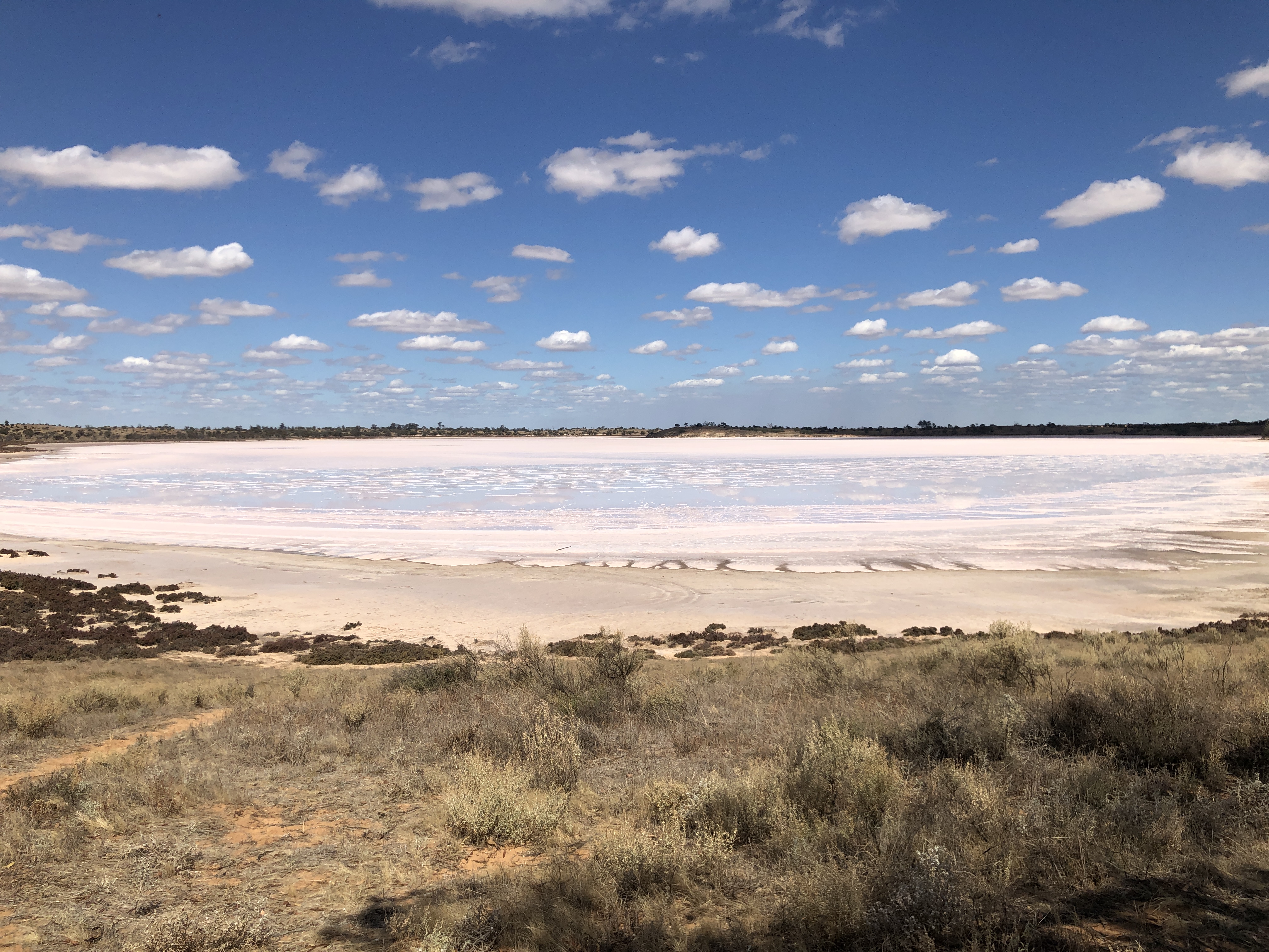
During our 5 days camping on the bank of the Murray River our movements through the 48,000H hectare Hattah Kulkyne National Park were restricted for 2 days because feral goats were being culled by helicopter shooters. Movements along the River Track were permitted, and we never saw or heard the helicopter. On one of those days we drove to Hattah (population 28), then into Sunset Country – Murray Sunset National Park. We drove west, then south to The Pink Lakes, then via Underbool and Ouyen back to our camp on the river. It was a full day trip mostly along rough sandy tracks, and rough dirt tracks. It would be possible in a 2WD, and was easy in the 4WD Landcruisers. It is desert, with no fresh water, except for some tank water at a couple of camping grounds. The lakes on the map are all shallow salt pans. Any water in these is very shallow, and unusable.

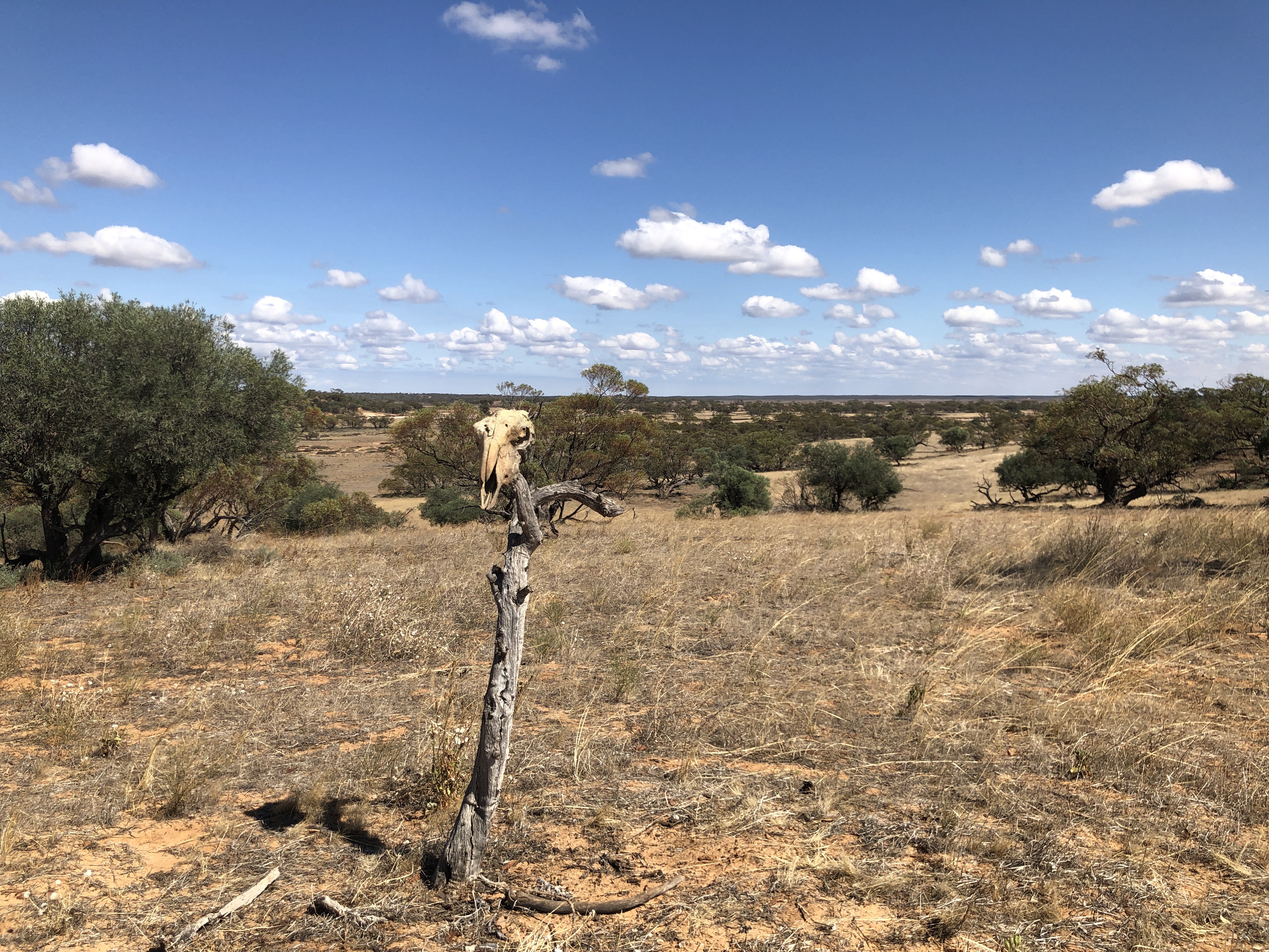
Des had never driven a 4WD before, but he quickly gained confidence in the Landcruiser’s predictable handling over the rough sandy tracks, and eventually I had to slow him down. The sand was deep sometimes, but never quite requiring tyre pressure reductions. We saw no other people or vehicles in the park and the camping grounds were empty. We did see some kangaroos and emus on the east side, nearest the river, but no wild life or birds deeper in the desert park.

….next chapter…. silo art.
